Open to Collaborations

Muhammad
Abia

GIS & Remote Sensing Specialist · Consultant · Trainer & Lecturer

Geospatial professional delivering spatial intelligence for government agencies across Indonesia. MEng in Geodesy from ITB. BNSP Certified GIS Professional.

9+
Years Experience
3
Active Companies
2
Publications
Muhammad Abia

Spatial Intelligence,
Applied.

I am a GIS and Remote Sensing Specialist with over 9 years of professional experience in geospatial consultancy. Currently active at PT. Datem Indonesia, PT. Global Asia Teknologi Solusindo, and PT. Barata Geospatial Technology, primarily serving government sector clients across Indonesia.

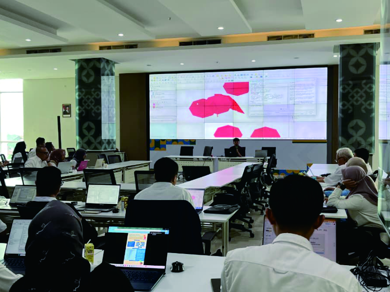
My expertise spans spatial analysis & modeling, geodatabase development, and satellite imagery interpretation. I work across multiple geospatial platforms including ArcGIS, QGIS, Google Earth Engine, Python, and various other mapping software.

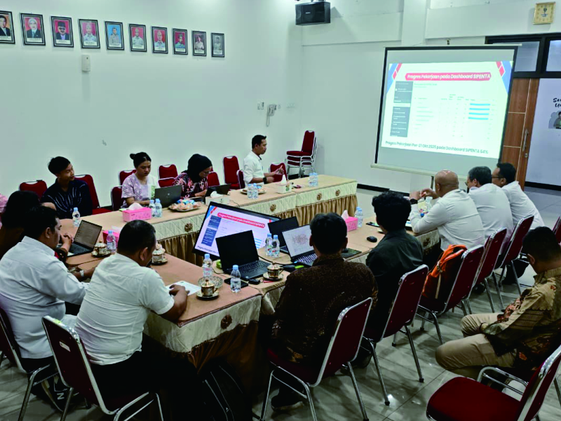
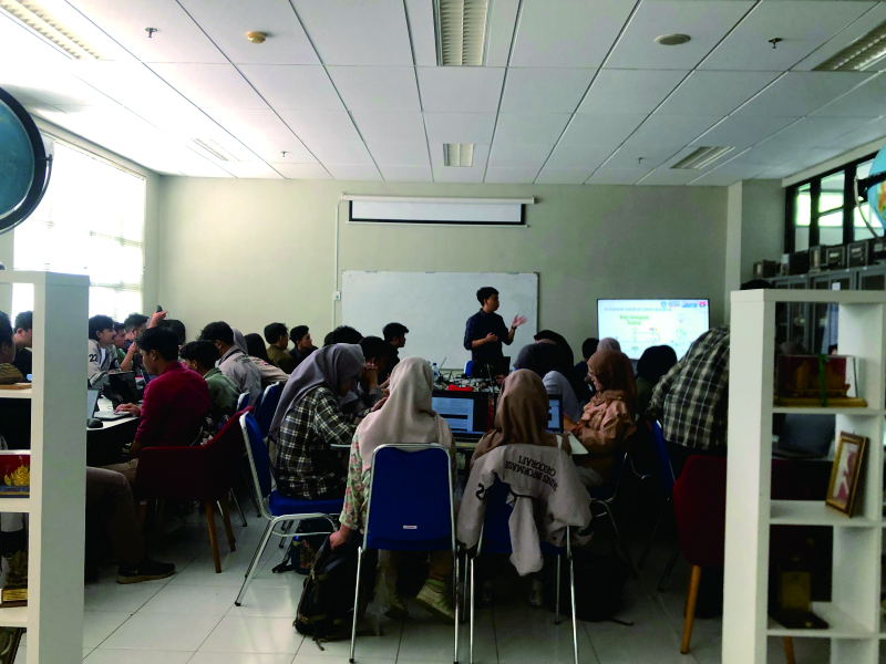
I regularly serve as Adjunct Lecturer in Geomatics Engineering at Universitas Jenderal Achmad Yani (Unjani) and as technical trainer and speaker for government GIS & remote sensing programs.

🏅 Ahli Madya Sistem Informasi Geografis — BNSP Certified (Sep 2024 – Sep 2029)

Spatial Analysis & Modeling Satellite Image Interpretation Geodatabase Development Thematic & Topographic Mapping ArcGIS / QGIS Google Earth Engine Python Remote Sensing Software Project Leadership GIS Training & Facilitation

What I Offer

Comprehensive geospatial solutions from data acquisition to spatial intelligence for government and private sector clients.

🛰️
GIS & Remote Sensing Consultancy

Professional geospatial consulting services to transform spatial data into actionable insights. From satellite imagery analysis and spatial data processing to geodatabase development, we support government, private sector, and research projects with reliable geospatial solutions.

🗺️
Cadastral & Topographic Mapping

Accurate mapping services for land administration, cadastral documentation, and topographic surveys. Delivering high-quality spatial data and maps to support planning, infrastructure development, and land management.

📊
Spatial Analysis & Modeling

Advanced spatial analysis and modeling to support environmental studies, land assessment, and decision-making. Using modern geospatial tools and data to generate meaningful insights from complex spatial datasets.

🎓
Technical Training & Workshop

Practical training and workshops in GIS, remote sensing, and spatial data analysis. Designed for professionals, institutions, and students who want to improve their geospatial skills and apply them in real-world projects.

Professional Journey

Work Experience
Jan 2025 — Present
Geographic Information System Specialist
PT. Datem Indonesia · Bandung, West Java
GIS specialist delivering geospatial solutions for government sector clients in Indonesia.
Jan 2025 — Present
GIS Specialist
PT. Barata Geospatial Technology · Bandung, West Java
Geospatial specialist contributing to mapping and spatial data projects.
Active
Geographic Information Systems Analyst
PT. Global Asia Teknologi Solusindo
Performed diverse GIS analysis tasks for project deliverables.
Sep 2019 — Sep 2021
GIS Trainer
PT. Elligo Mappa Erda · Bandung
Provided GIS training materials and facilitated technical training programs over 2 years.
Apr – Sep 2017
GIS Technician
PT. Delima Laksana Tata · Jakarta
Analyzed survey data using ArcGIS for Railway Crossings Identification project at the Ministry of Transportation, Republic of Indonesia.
Education & Academic
Jan 2025 — Present
Adjunct Lecturer — Teknik Geomatika
Universitas Jenderal Achmad Yani (Unjani) · Cimahi, West Java
Teaching GIS, Digital Mapping, Thematic Mapping, Digital Photogrammetry, Property & Land Information Systems, and Programming. 3 active semesters.
2021 — 2023
Master of Engineering (MEng)
Institut Teknologi Bandung (ITB)
Geodesy and Geomatic Engineering. Thesis: "Analysis of Tsunami Hazard Impact on the Strategic Environmental Assessment — Case Study: Ciemas District, Sukabumi Regency."
Jan 2018 — Jul 2019
Laboratory Staff & Technical Trainer
Universitas Pendidikan Indonesia (UPI) · Bandung
Managed GIS Lab equipment. Created training modules and provided ArcGIS training for geography teachers. Served as Publicity & Website Chair for IGEOS-UPSI 2018 international seminar.
2013 — 2018
Bachelor of Education (BEd)
Universitas Pendidikan Indonesia (UPI)
Geography Teacher Education — foundation in geospatial sciences, cartography, and remote sensing.

Publications

Peer-reviewed research contributing to geospatial science and remote sensing methodology.

Coastal and Ocean Journal · Dec 2025
Comparative Analysis of Benthic Ecosystem Mapping Using Allen Coral Atlas and Sentinel-2 in Pagai Islands
Comparative study of benthic mapping in Pagai Islands, West Sumatra, utilizing Allen Coral Atlas (Planet Labs Dove, 3–5m) and Sentinel-2 imagery (ESA Copernicus, 10m resolution).
Coastal and Ocean Journal · 2025
Rekayasa · Jul 2024
DEM Product Assessment for Hydrological Applications Using Watershed Morphometric Analysis
Assessment of SRTM, ASTER GDEM, and NASADEM uncertainty levels by comparing watershed morphometric derivation including hydrological boundaries, river flow networks, and confluence points.
Rekayasa Journal · July 2024

Academic & Training

Combining professional expertise with academic teaching to develop the next generation of geospatial professionals.

Courses — Geodesy/Geomatics · Unjani
Geographic Information Systems
Digital Mapping
Thematic Mapping
Digital Photogrammetry
Property Information Systems
Land Information Systems
Programming
Indonesian Language
Training & Speaker Programs
Guest Lecturer · Diskominfo West Java · October 2025
Satellite Image Processing Using Google Earth Engine
Speaker at a government training on land cover classification and land use change analysis using Google Earth Engine. Organized by the Department of Communication and Information, West Java Province, 22–24 October 2025.
Guest Lecturer · Diskominfo West Java · July 2025
Jawara Data Geospasial Training Program
Speaker at the Geospatial Data Champion Training at the Department of Environment, West Java Province, 23 July 2025. Organized by the Department of Communication and Information, West Java Province.
Government Training · PT. Elligo Mappa Erda · 2019–2021
GIS Technical Training Program
Delivered GIS training materials and facilitated technical programs for government and institutional participants over 2 years.
Technical Workshop · PT. Orca Cendekia · Jakarta
ArcGIS for 3D Modeling & Spatial Analysis
Training on 3D Data Modeling, Terrain Analysis, and Spatial Analysis using ArcGIS for professional participants in Jakarta.
Academic Training · UPI Bandung
Basic GIS Training for Geography Teachers
Created training modules and provided hands-on ArcGIS training for geography teachers as part of UPI's academic outreach program.

Let's Work Together

Open to geospatial consultancy projects, technical training collaborations, and academic engagements. Based in Bandung, Indonesia.